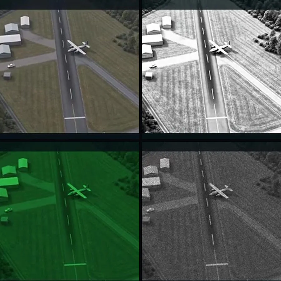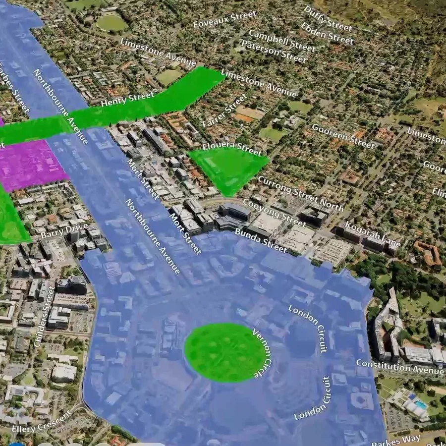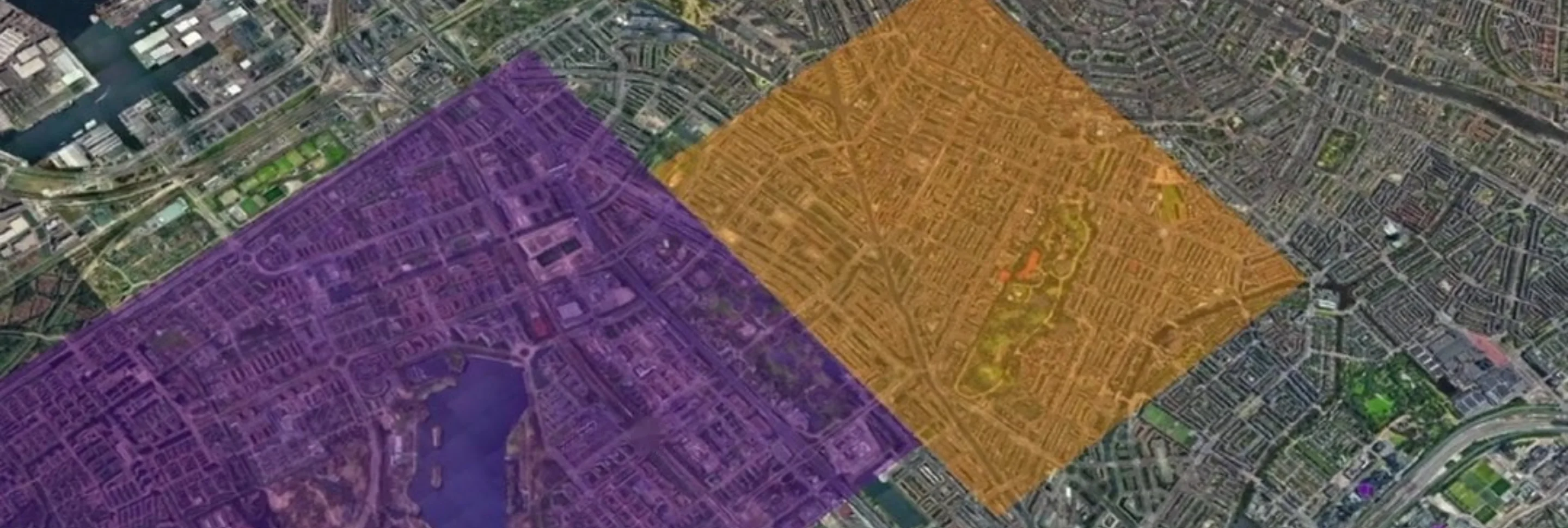

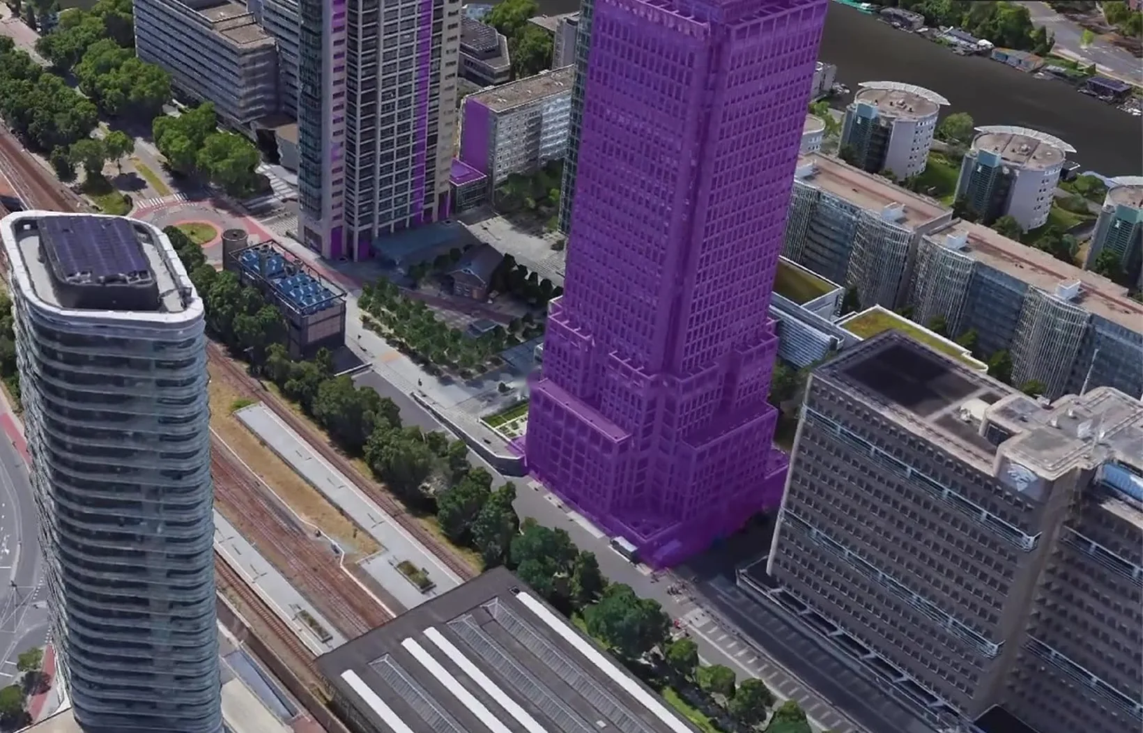
01 / One conversation
Find, measure, compare, plan
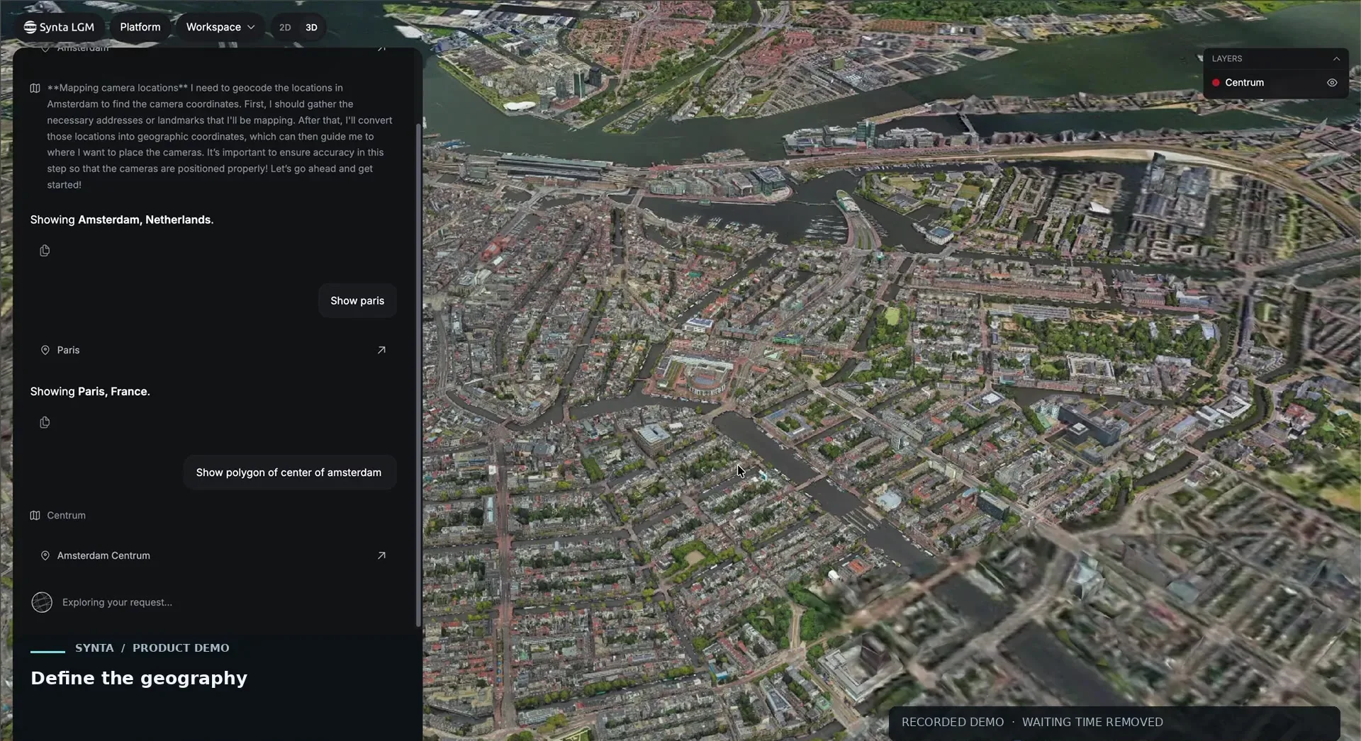
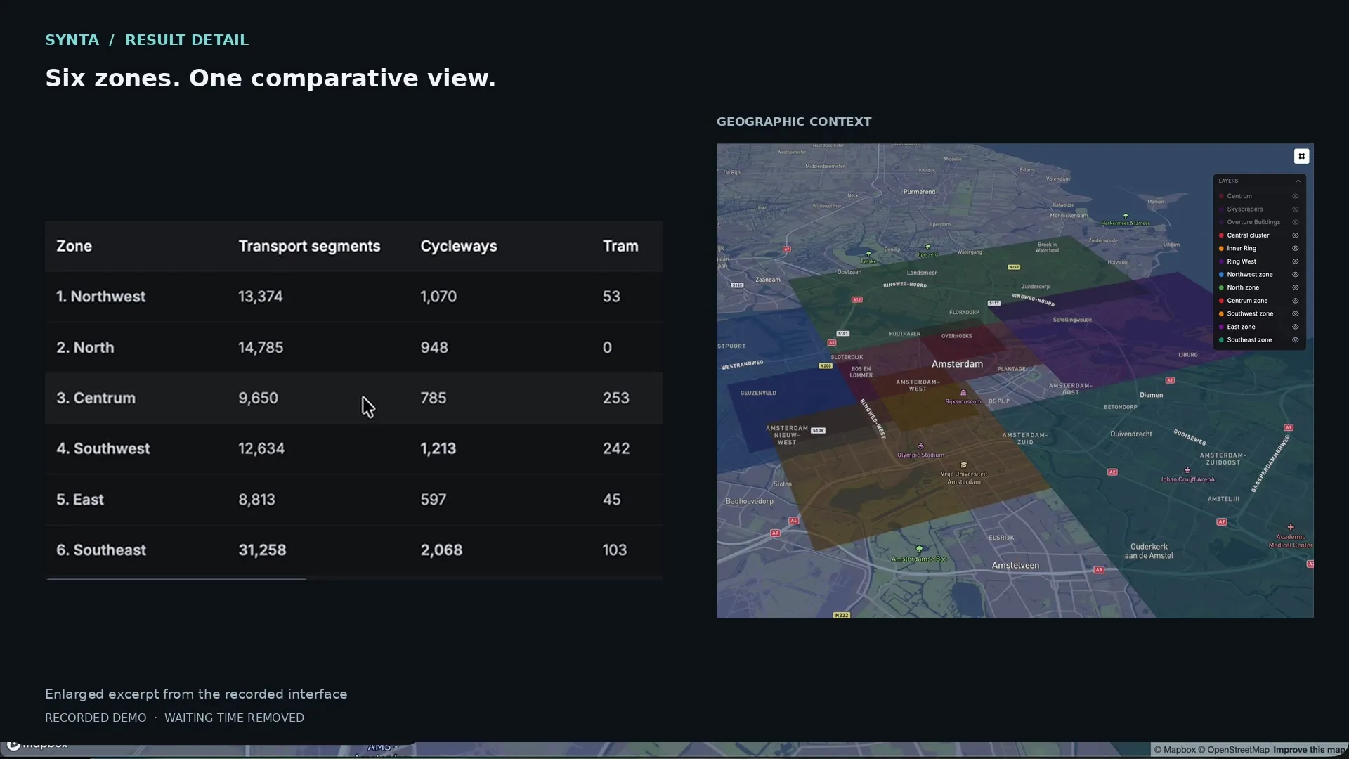
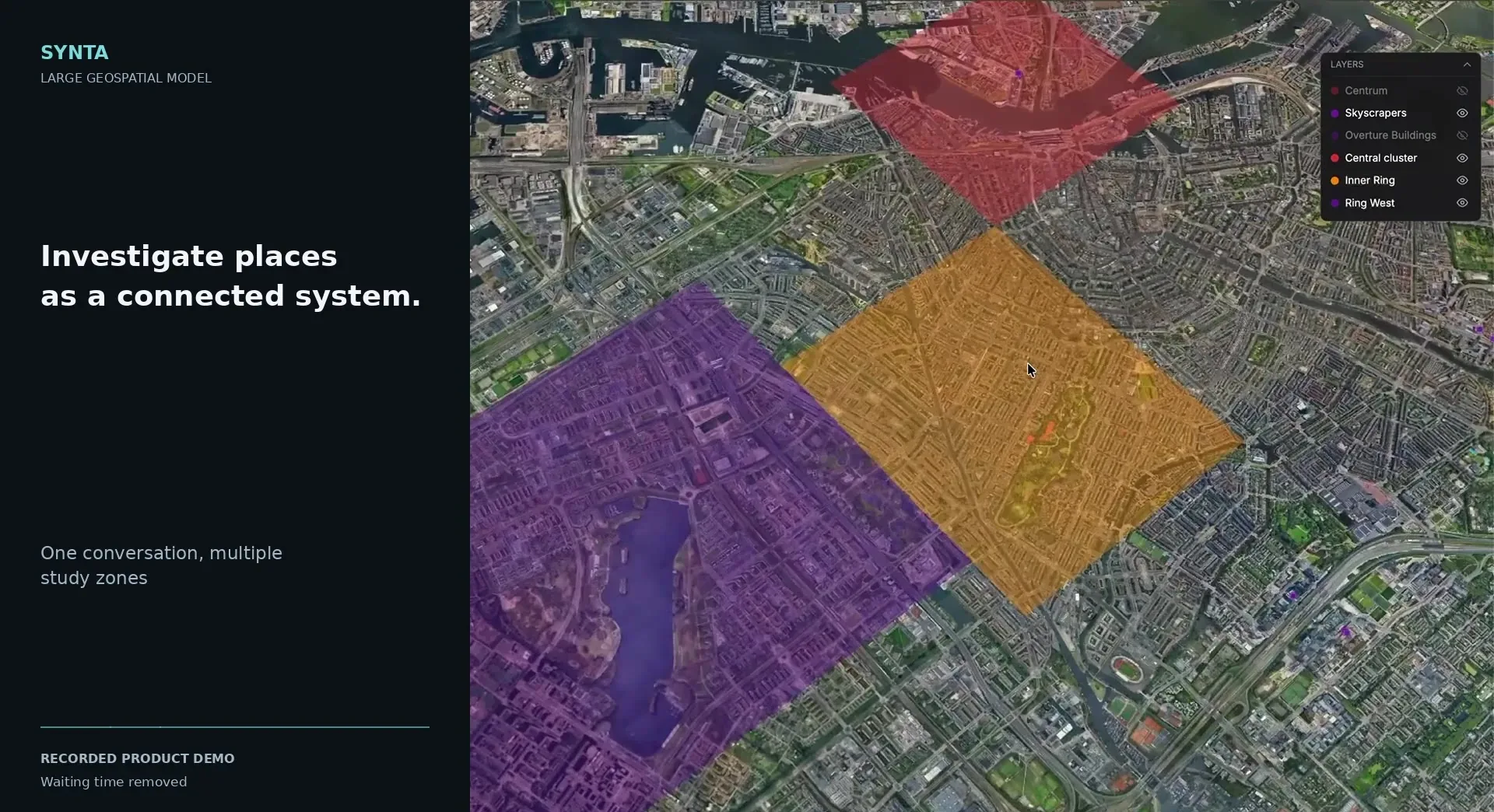
One conversation, from a question to a plan on the map. These frames come from a recorded demo in Amsterdam, Netherlands.
02 / Access
One backend, four ways to use it
The same model answers in a browser, in your own code, inside AI agents and in QGIS.
01Web appAsk questions and explore answers on a 3D map.
02APICall SynTa from your own systems.
03MCP serverConnect SynTa to AI agents and assistants.
04QGIS pluginUse SynTa inside QGIS, next to your own layers.
03 / Demo · Eden, Australia · 37.07° S 149.90° E
From point cloud to live synthetic environment
SynTa takes a point cloud of a real coastline, classifies what is in it, and the result becomes a live environment you can fly, sail and query.
This is where SynTa and Synthetic Environments meet: understanding the data and building the world from it.
04 / Training data
Trained where every pixel has a label
Our synthetic environments know what every object is, because we built them. That gives SynTa labelled training data at any scale and in any region, without manual annotation.