
SynPlanet
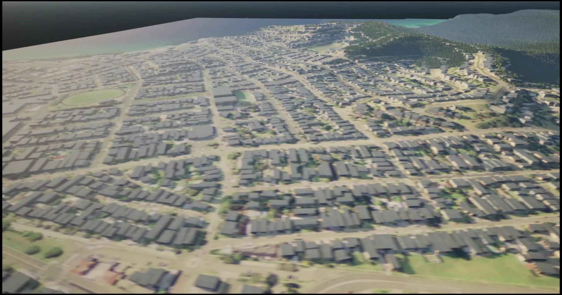
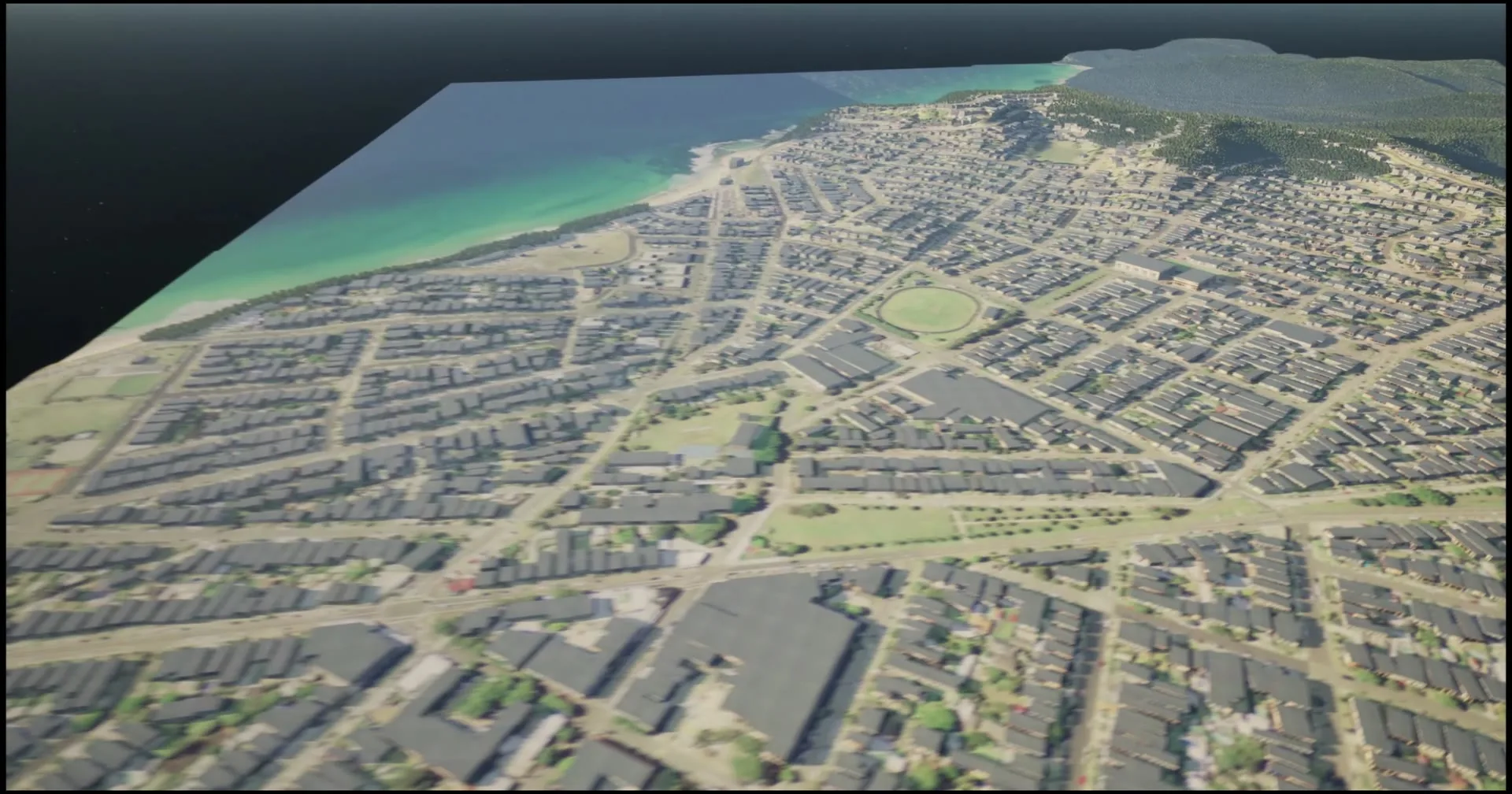
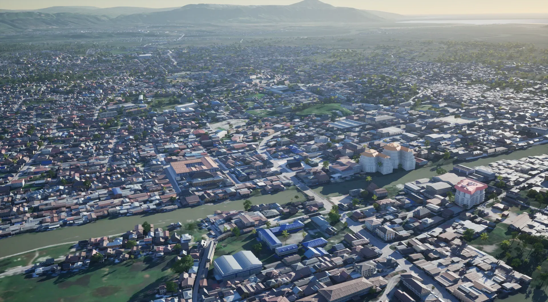
Coastal town and hills generated as a synthetic environment

Our core service

Synthetic Environments

Georeferenced 3D copies of real places, built for simulation, testing and training. You send the area. We deliver the world.

01 / How it works

From a box on a map to a world

  1. 01
    Choose the areaA city, a site, coordinates or a KML file, and what it will be used for.
  2. 02
    We generate the baseSynTerra builds terrain, imagery, buildings, roads and vegetation from data.
  3. 03
    We enrich itDetail, materials, road networks and semantics, to the level your use needs.
  4. 04
    You get the environmentDelivered for your engine or simulator: Unreal Engine and Isaac Sim, plus OpenDRIVE roads that open in RoadRunner and CARLA.
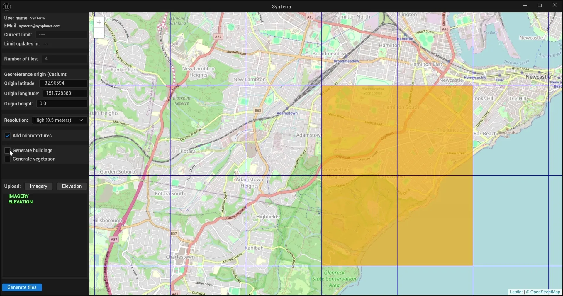
SynTerra interface with an area selected on the map for generation
Step 01 in SynTerra: the selected area becomes tiles to generate

02 / Levels of detail

Pick the level of detail

Large areas at overview level, the places that matter in full detail. Most projects mix levels.

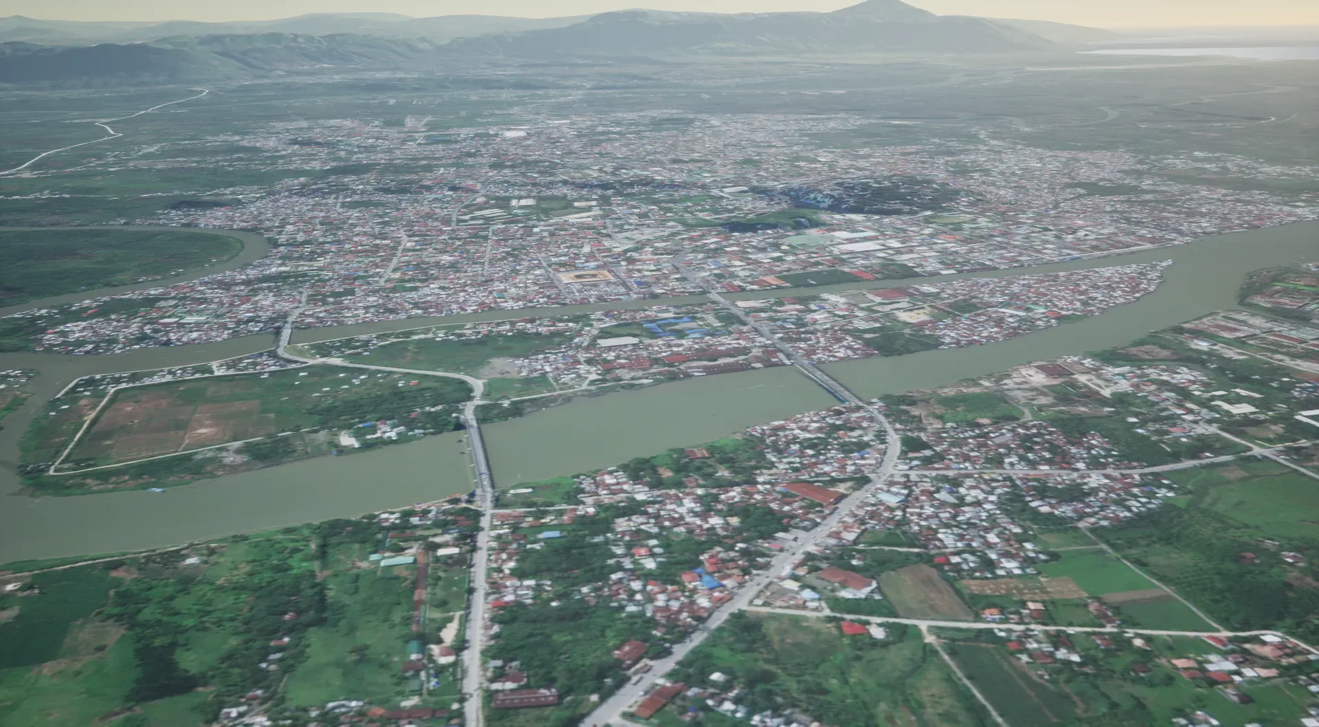
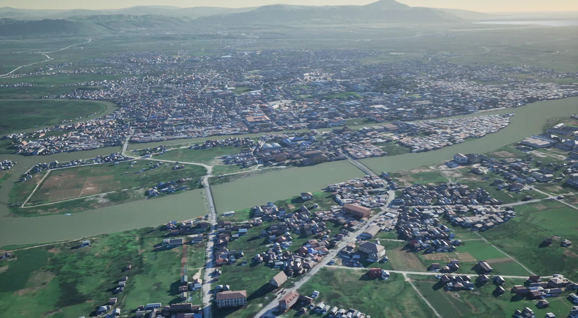
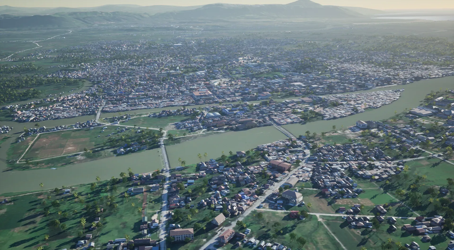
BARMM, Philippines at level 1, overviewBARMM, Philippines at level 2, standardBARMM, Philippines at level 3, detailedBARMM, Philippines at level 4, custom
L1OverviewBARMM, Philippines

03 / What's inside

What's inside an environment

Every environment starts as a generated base, built from open and commercial data. Enrichment is the work we add on top, and it's what makes the place usable in a simulator.

Generated base
Footprints and heights from Overture Maps.
Enriched
Roof shapes, facade materials, key landmarks modelled.

Canberra, Australia · the same 6 × 6 km in every layer

04 / Applications

Where they're used

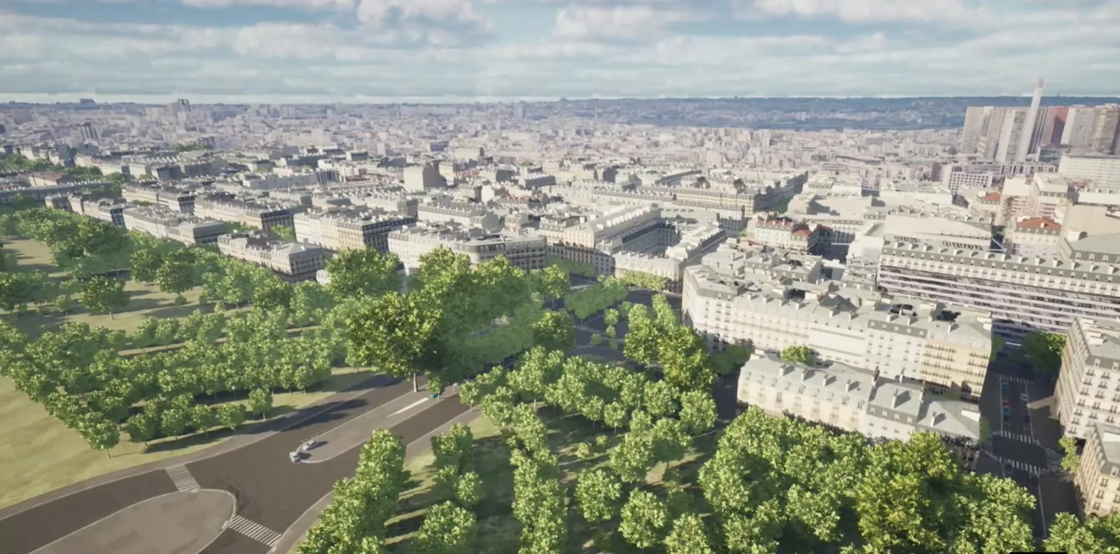
Paris city blocks and park seen from the air
01

Simulation and training

Flight, driving and mission simulators need the real place, not a generic one. We build the terrain and cities your trainees will meet.

Large areas at overview level with detailed zones around airfields, routes and objectives.
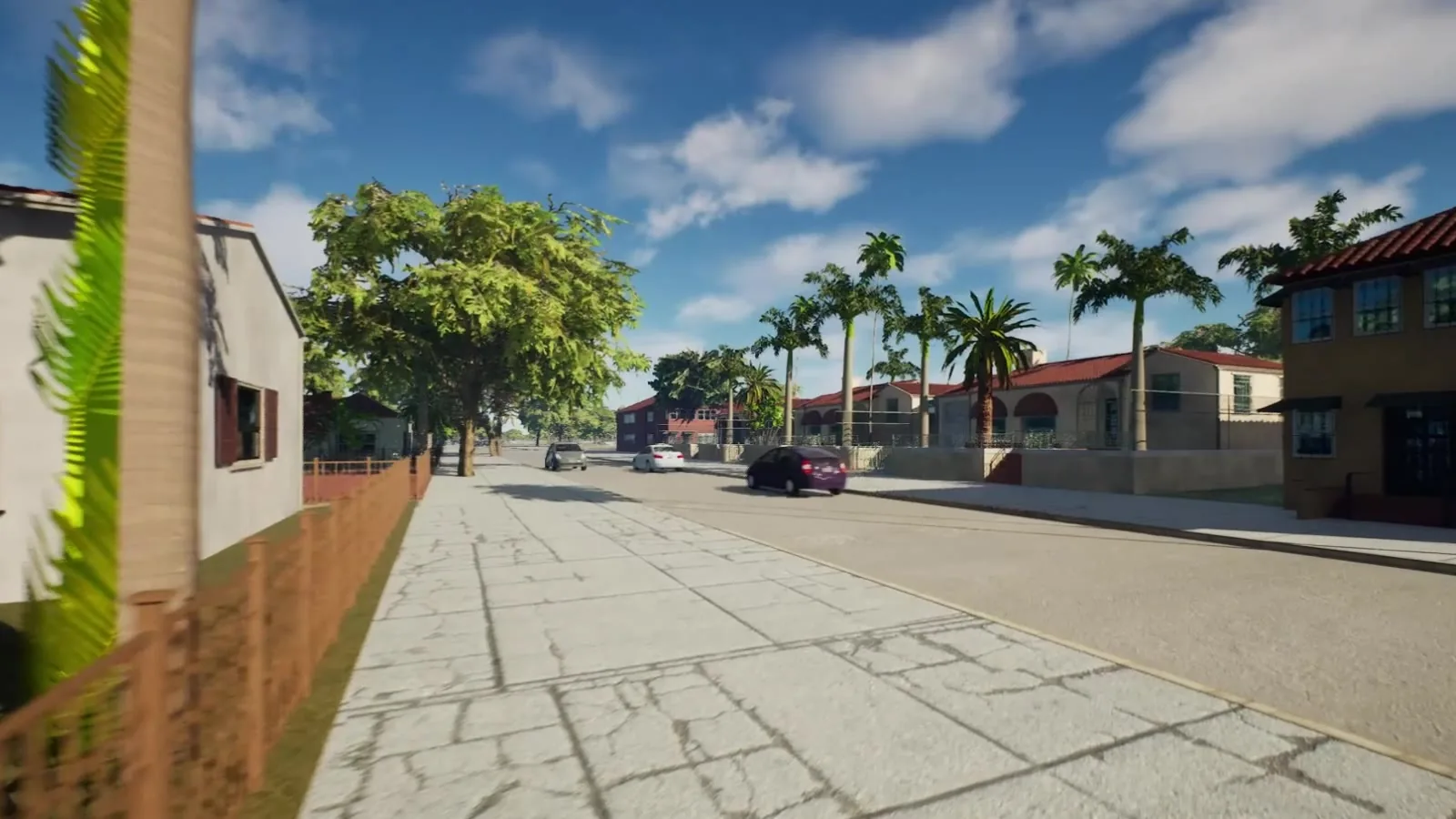
Driver-eye view of a Miami street with palm trees and traffic
02

Autonomous systems and ADAS

Test vehicles, drones and sensors on real road networks before they meet the real road.

The same scene exported to OpenDRIVE opens in RoadRunner, CARLA and NVIDIA Isaac Sim. Built so far in Germany, the USA, China and Saudi Arabia.

Residential suburb generated from map data
03

Defence and government

Synthetic terrain for training and planning, delivered through prime contractors and integrators.

We work as a subcontractor and supply the environment; the integrator owns the programme.

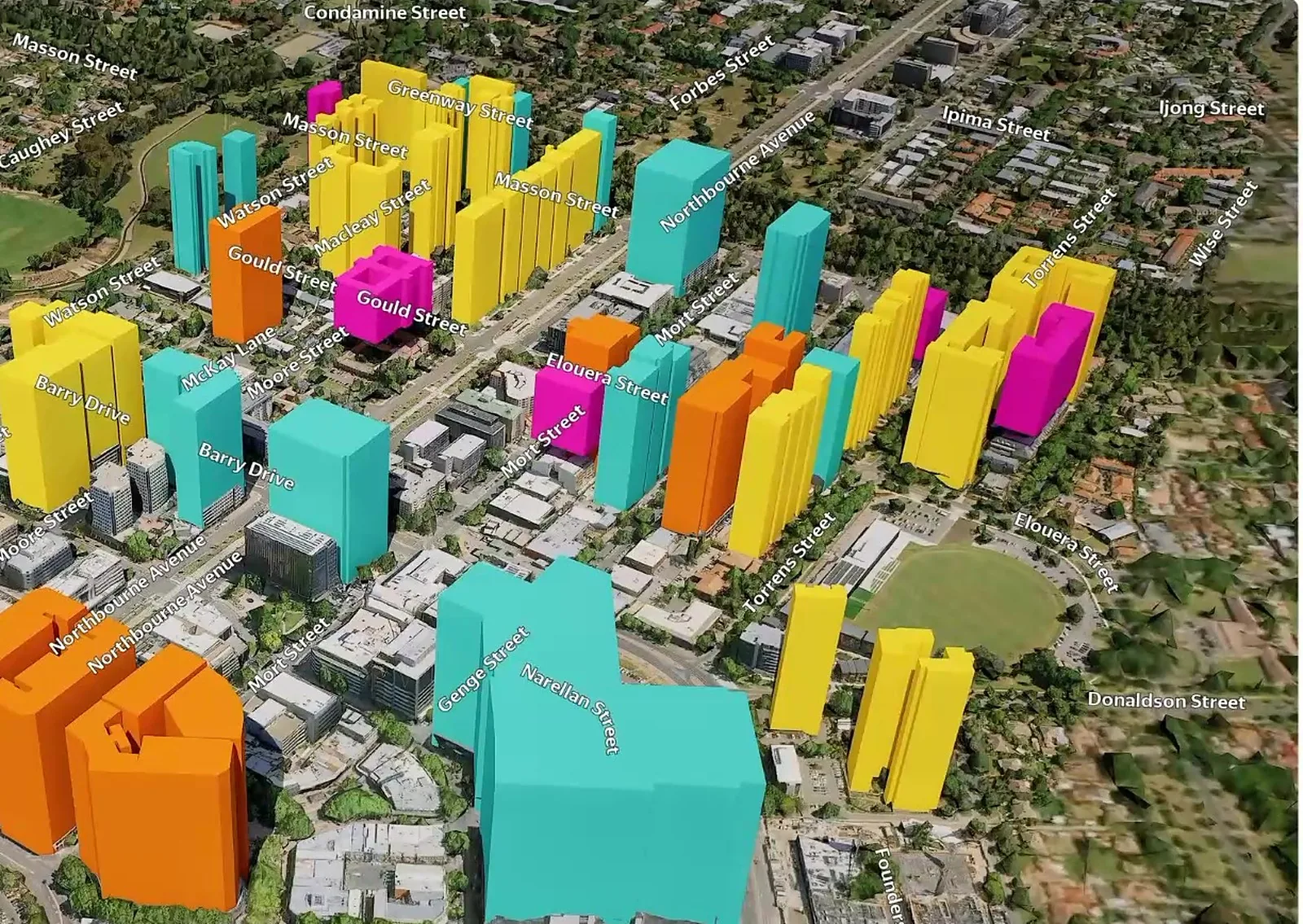
Canberra digital twin with buildings coloured by planning layer
04

Cities and planning

Live digital twins for zoning, infrastructure, development and city operations.

Combine the environment with your own GIS layers, because both share the same coordinates. See the Canberra case below.

Case · Canberra, Australia · 35.28° S 149.13° E

A capital city as a live digital twin

The whole city generated as a synthetic environment, then used to explore zoning, test new development on a real site, and follow city services in real time.

Canberra buildings coloured by planning layer
Planning layers Zoning and building data on the 3D city.
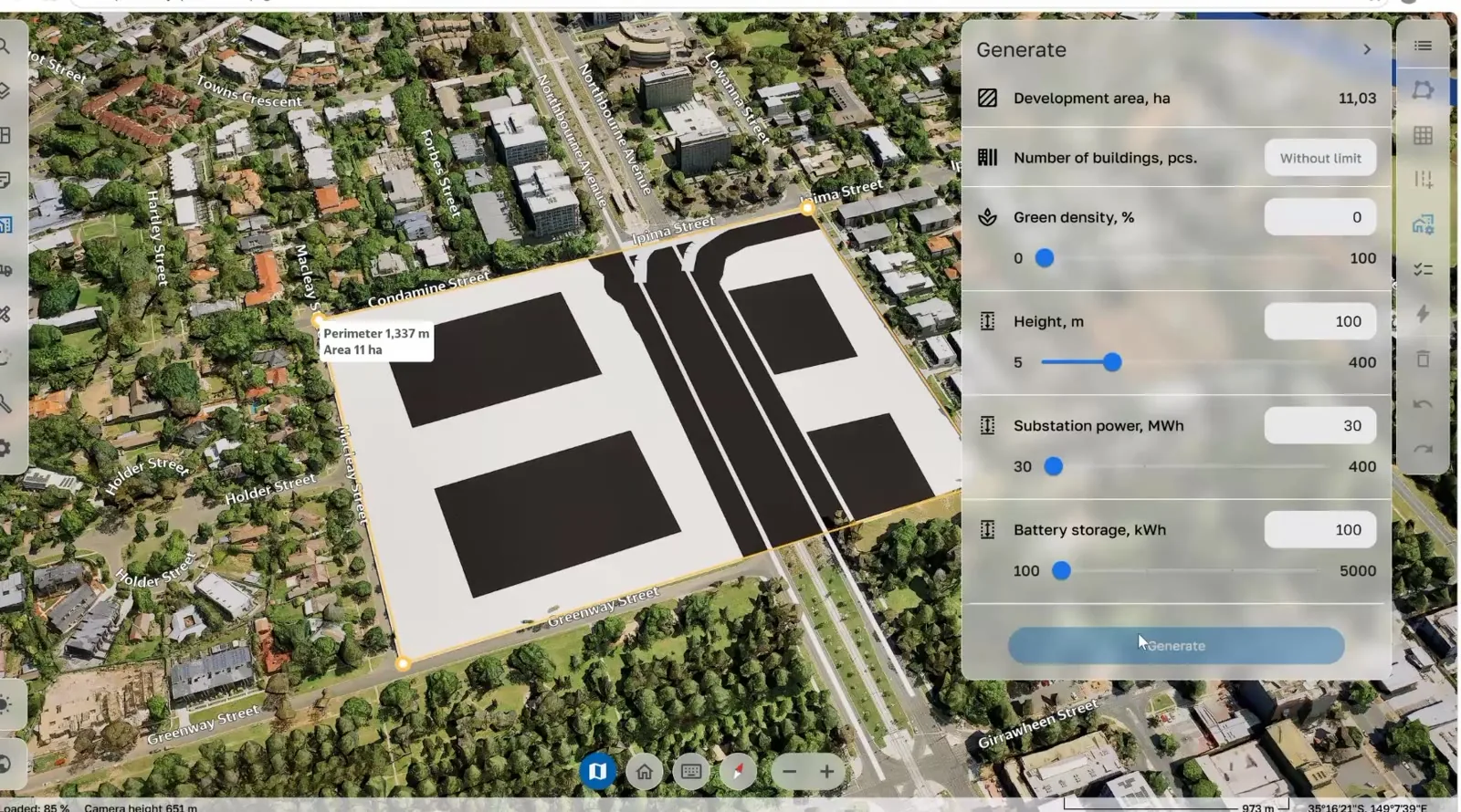
Generative design panel placing new building blocks on a site
Generative design Set density and height, generate options on a real site.
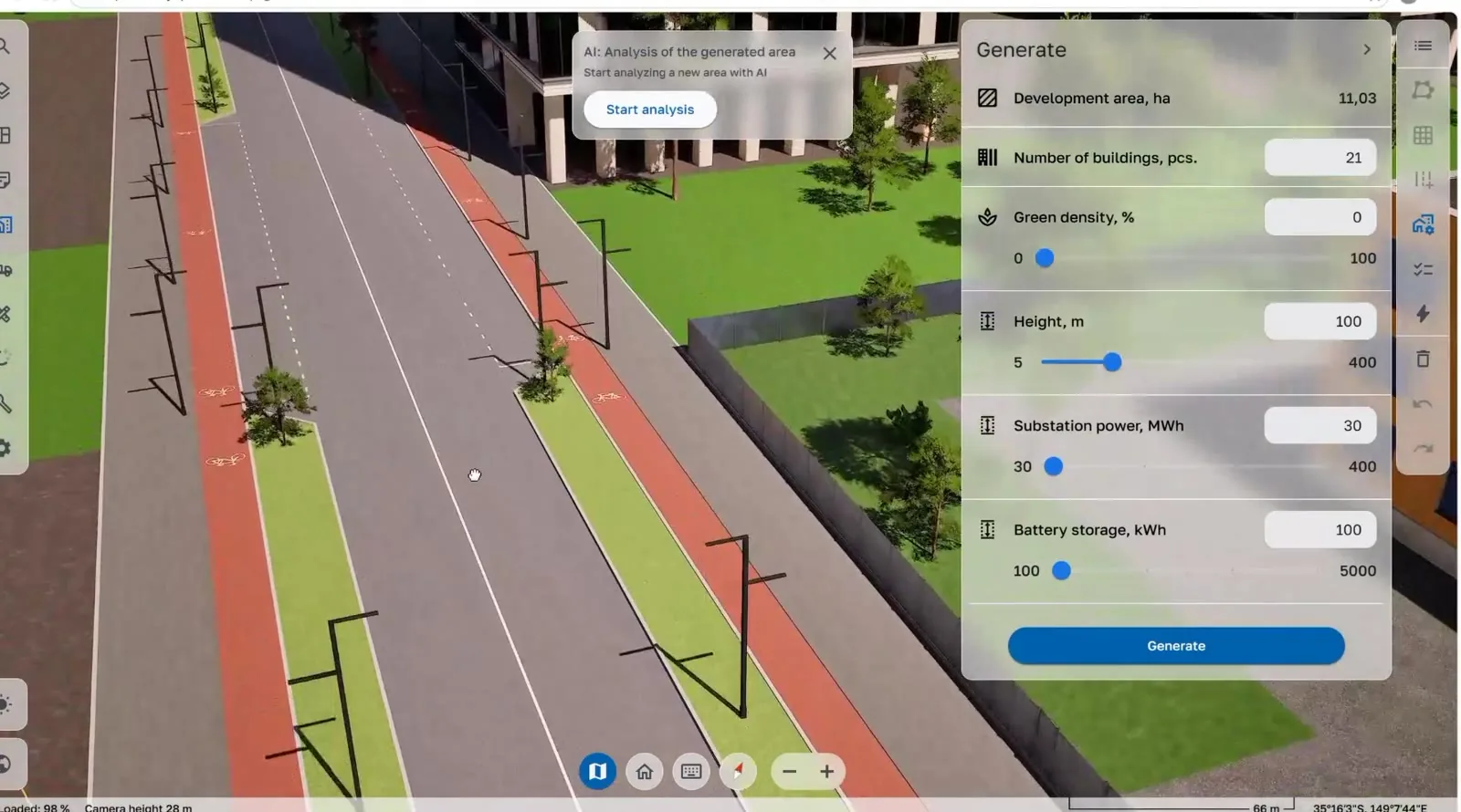
Street-level view of a newly designed avenue with cycle lanes
Street level Walk the new streets before they are built.
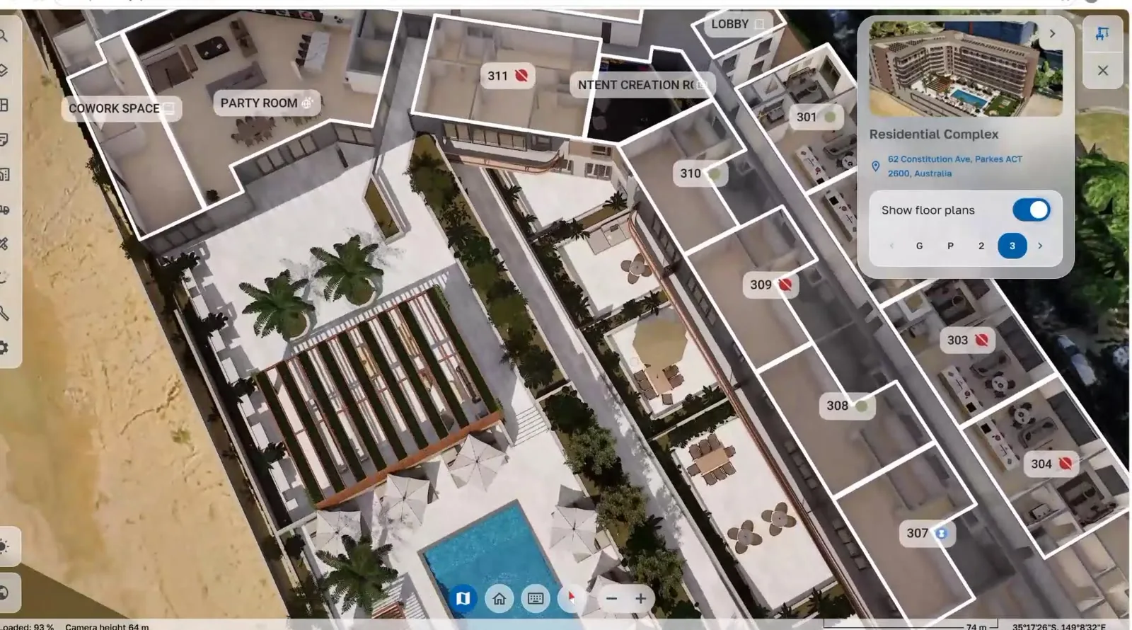
Residential building with floor plans exposed
Building detail Floor plans and units inside the twin.

Watch the demos

Miami, USA · roads for simulation · 1 min A Miami neighbourhood rebuilt from geodata, with lanes, junctions and crossings exported to ASAM OpenDRIVE, ready for traffic and ADAS testing.
Canberra, Australia · digital twin · 3.5 min Planning layers, AI analysis, generative design, building detail and live operations in one environment.

Delivered the way you work

Everything is georeferenced, so the environment lines up with your own data, routes and sensors. You can also give us your own imagery or elevation and we build on that instead.

  • Unreal Engine project
  • OpenDRIVE (.xodr)
  • RoadRunner
  • CARLA
  • NVIDIA Isaac Sim
  • Cesium-georeferenced
  • Browser streaming (SynTerra Live)
  • OpenUSD
  • Unigine

Recent environments

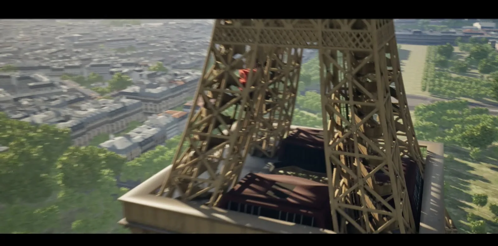
The Eiffel Tower above the Seine
Paris, France · Seine and Eiffel Tower
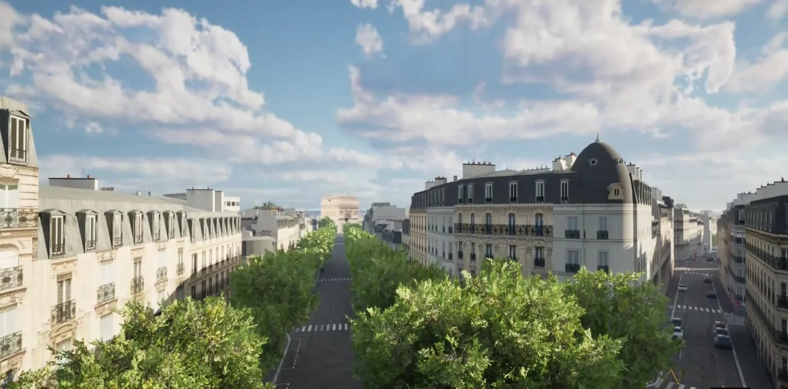
Tree-lined Paris boulevard
Paris, France · boulevard
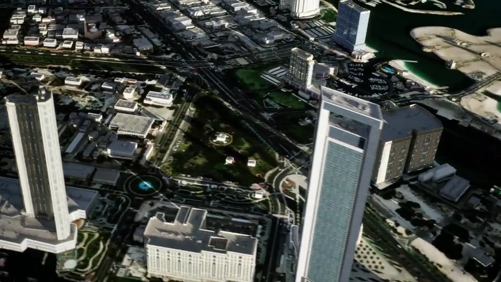
Abu Dhabi coastline with towers
Abu Dhabi, UAE · generated city
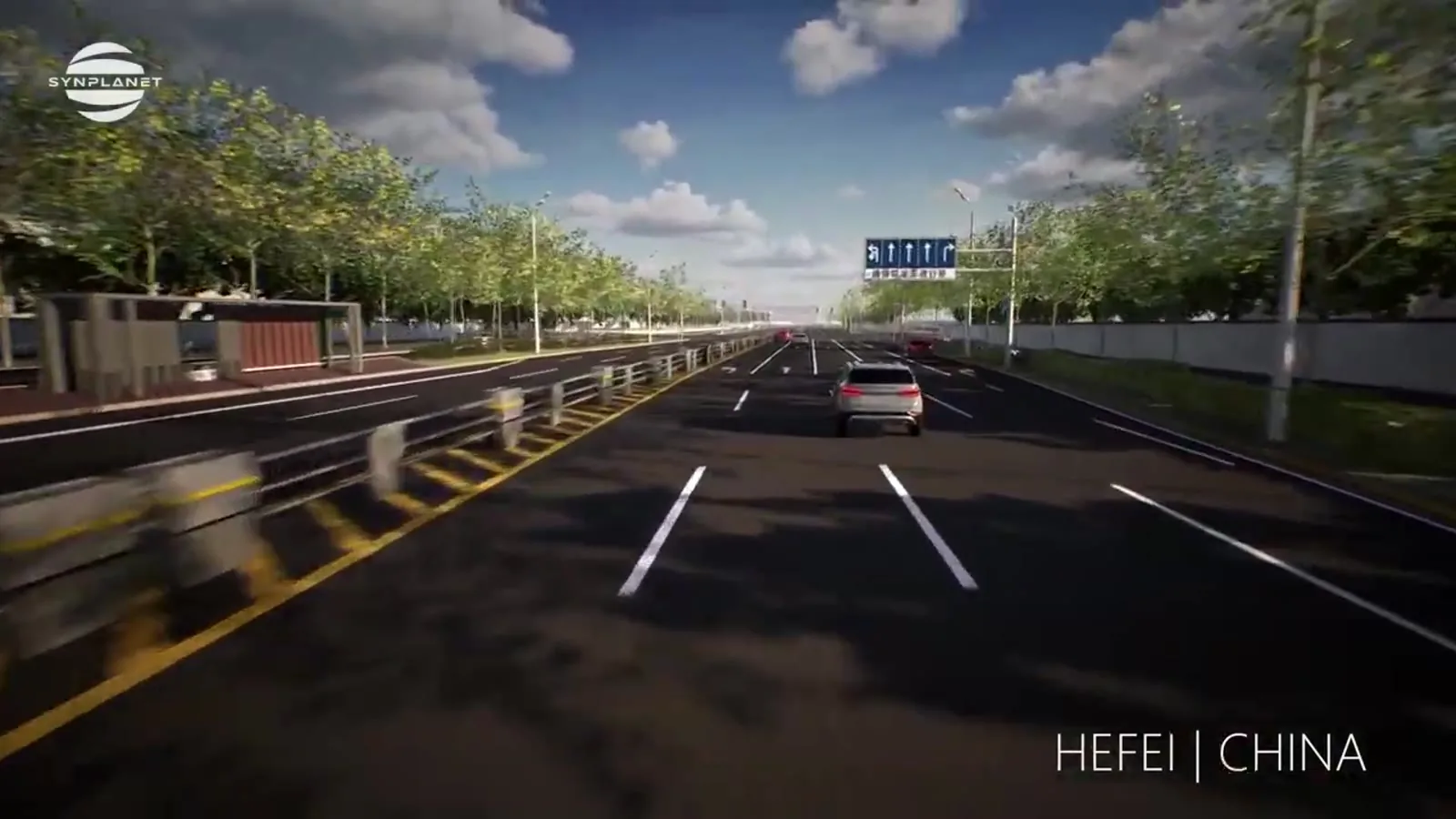
Multi-lane road in Hefei
Hefei, China · OpenDRIVE roads
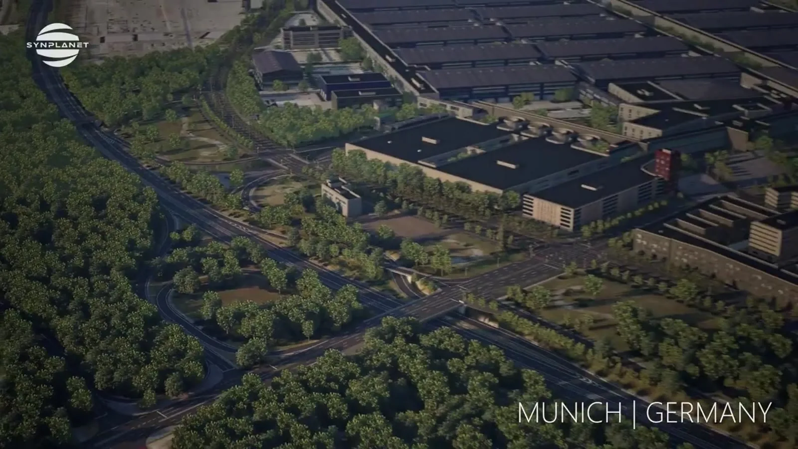
Munich district from above
Munich, Germany · ADAS environment
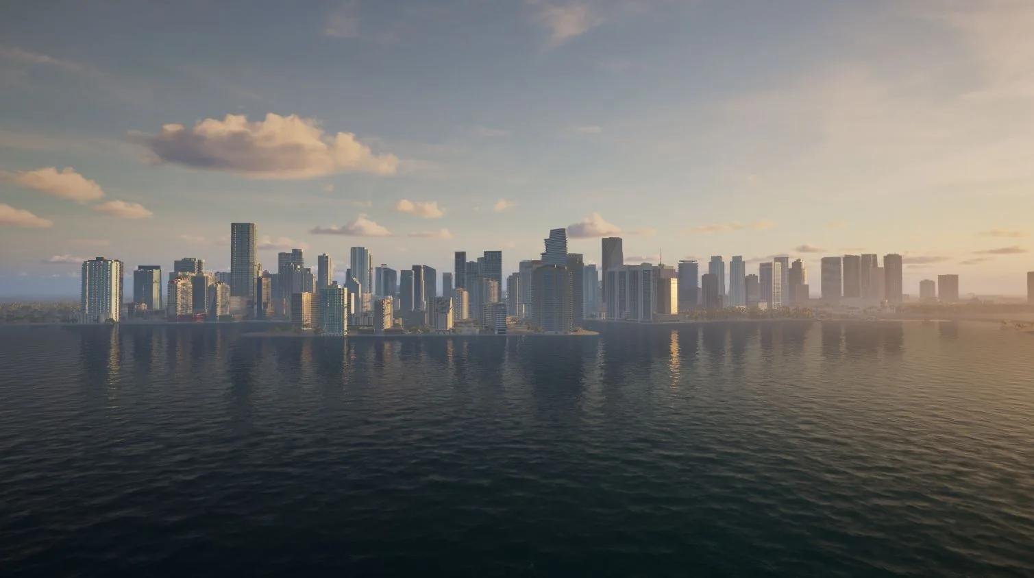
Miami skyline at sunset from the bay
Miami, USA · skyline

Questions

From a single site to a whole region. Large areas are usually built at overview level, with the key places in full detail.

It depends on the size of the area and the level of detail. We give you a timeline with the first reply.

The area (a name, coordinates or a KML file), what the environment is for, and the engine or simulator you use.

Yes. SynTerra can build from your own imagery and elevation data instead of the default sources.

It depends on the size of the area and the level of detail. We include an estimate with our first reply.

You own the environment we deliver, subject to the licences of the source data used.

Send us
your area

  1. 01Tell us whereThe area, and what you'll use it for.
  2. 02A person repliesWithin 24 hours on business days. No bots, no sales sequence.
  3. 03You get a planWhat we'd build, and how long it takes.